


Navigation Link
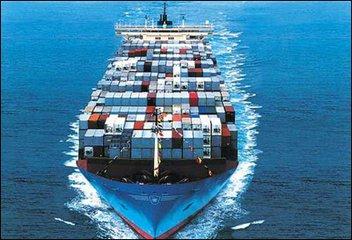
SHIPPING FROM CHINA
ON TIME DELIVERY
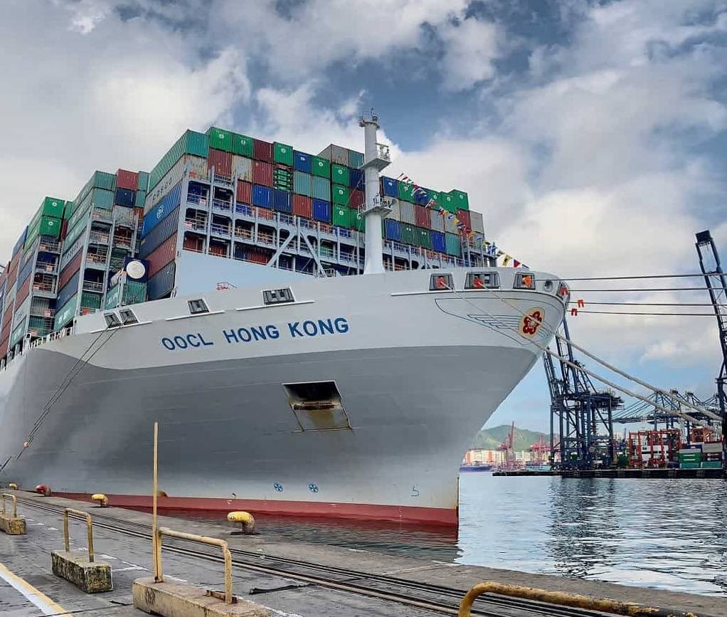
SHIPPING FROM CHINA
ON TIME DELIVERY


 September 23,2019
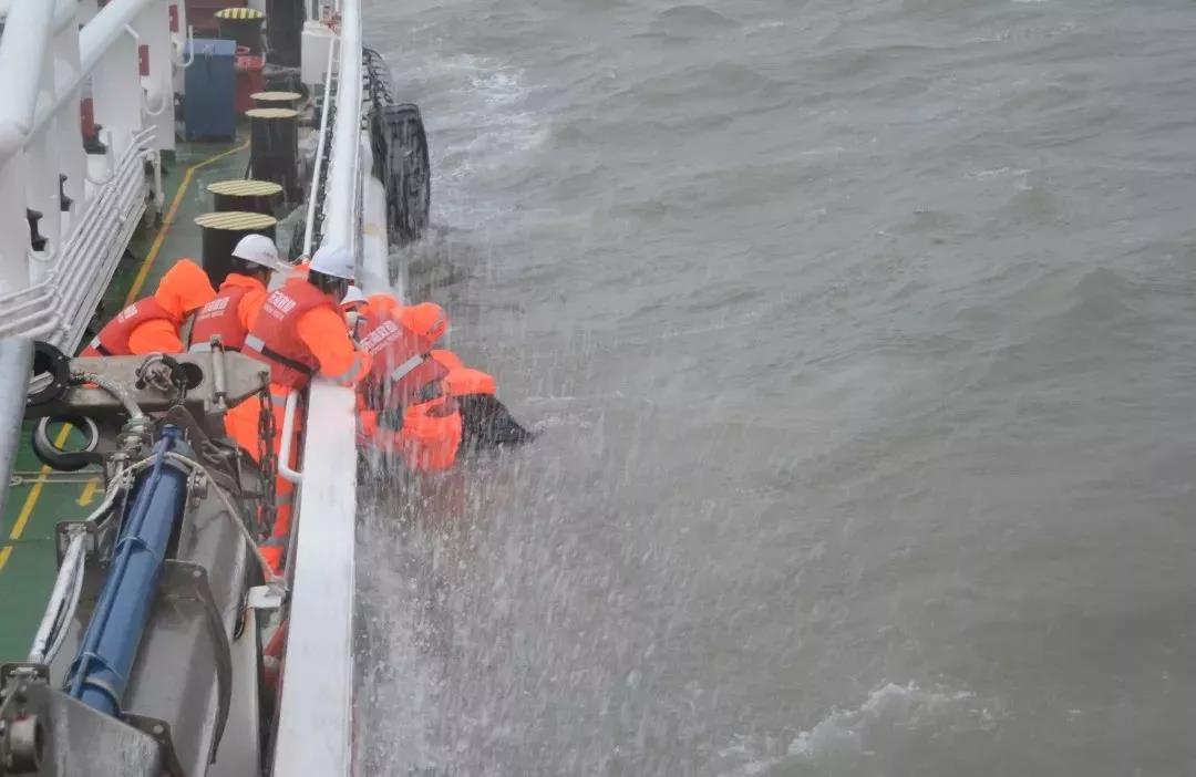
At 1:21 on September 21, 2019, the East China Sea Rescue Bureau received Zhoushan RCC information: the Mongolian container ship "VANWAH" wheel was tilted in the Zhoushan waters, and there was a danger of sinking. The 15 crew members on board (including 7 Chinese nationals and 8 Myanmar nationals) were in distress with the ship and were in desperate need of assistance.
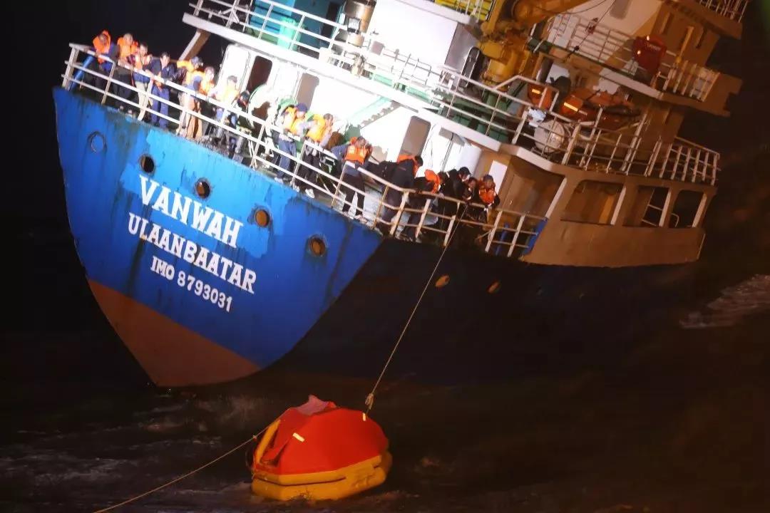
Affected by the Typhoon Tapah on the 17th of this year, the wind power of the site is about 8 or so, the wave height is about 3-4 meters, and at 4:20 on the 21st, the "Donghai rescue 102" and "Donghai rescue 117" rounds have arrived at the scene one after another. Rescuing the rescue, after overcoming the difficult sea conditions and the serious inclination of the ship in distress, rescued 14 people through the hangable life raft, rescued 1 person from the water, and 15 crew members turned to safety.
At 8 o'clock on the morning of September 21, the tropical storm Typhoon Tapah of this year was strengthened into a typhoon. The maximum wind force near the center is 12, and the lowest pressure in the center is 975hpa. At present, Typhoon Tapah is going north at a speed of 20~25 kilometers per hour. Move west. Although the intensity of the Typhoon Tapah is not ranked in the Pacific typhoon season this year, it is only a typhoon-strength tropical cyclone, but Typhoon Tapah is a proper giant. The west side of the Typhoon Tapah circulation covers the east coast of China, and the entire East China Sea is under the circulation of Typhoon Tapah. Its wide circulation has already ranked the crown of the typhoon in the northwestern Pacific this year, and the diameter of the circulation of 2,000 kilometers even exceeds the super typhoon "Mangosteen" last year.
According to Xinxin, a meteorologist of the China Meteorological Channel, on the morning of 20-22, the combination of the outer circulation of the Typhoon Tapah and the cold air may bring some heavy rain to the eastern and northern parts of Taiwan and the Zhejiang-Ningbo-Zhoushan area. Local rainstorm. In the early morning of the 22nd, it should be the closest time to China's Zhoushan Islands and Shanghai. From the evening of the 22nd to the 23rd, it will pass through between Korea and Japan. The impact on China is mainly due to the strong winds (superimposed cold air) in the East China Sea and the southern part of the Yellow Sea.
If there are freight forwarders and shippers need to ship, you can track the typhoon real-time situation, arrange and stagger the typhoon in advance to arrange shipments, so as not to delay. If you need to ship your goods after the typhoon, you can drop us an email:alex@ol-log.com, or call and our staff. We, Original link Logistics would be glad to assist you.
Navigation Link
Contact Us


A FREE CONSULTATlON